How Depth and Coastlines Change a Tsunami
Learn why a low, fast deep-ocean wave can slow and grow near shore, and why official alerts still matter after the first wave.
Publication & corrections: infostoa · Editorial standards
Individual author and specialist reviewer information is not provided for this article.
Why a tsunami can look small offshore and remain dangerous
Unlike wind waves at the surface, a tsunami is a long wave that moves through much of the water column. NOAA explains that its speed depends on water depth and can be very high in deep water. Its wavelength can be so long that the wave height offshore is low and a ship may barely notice it. As it enters shallow water, it slows, the wavelength shortens, and wave height and currents can increase. A small offshore appearance therefore does not establish low coastal risk.
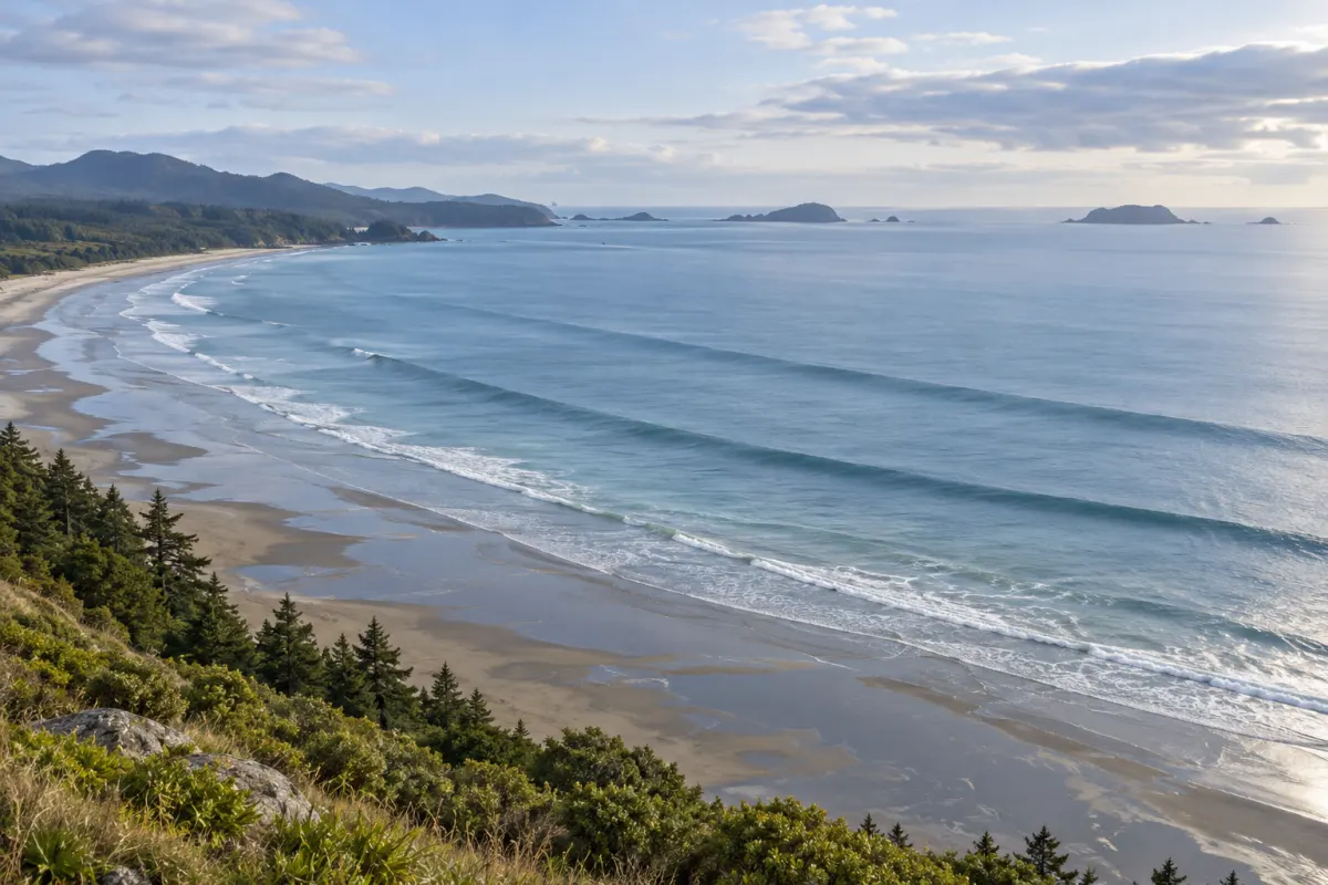
This conceptual image is not to scale and cannot identify a tsunami or its cause or predict local conditions.
Why impacts differ along a coast
Seafloor topography and the shapes of bays, headlands, and harbors can alter waves and currents. NOAA notes that the same tsunami can affect coasts differently because of offshore and coastal features. Do not convert a distant wave height or a historical average into an inundation estimate for a particular beach. Low-lying areas farther inland may also be exposed; use local hazard maps and alerts.
Respond to the first wave and natural warnings
A tsunami can arrive as a series of waves with strong currents, and the first wave is not necessarily the largest or most damaging. This article cannot predict the interval between waves or how long the event will last. Strong or long shaking, a sudden rise or fall in sea level, or a loud ocean roar can be natural tsunami warnings. Protect yourself during the shaking. As soon as it is safe to move, follow local evacuation routes to higher ground or inland; do not wait for an official alert. Follow local authorities and stay away until the official all-clear.
Sources and scope
NOAA’s propagation explanation, the U.S. Tsunami Warning Centers FAQ, and NOAA Ocean Today’s safety guidance were checked. Local official maps, alerts, and authorities determine actual risk and evacuation routes. This article is not a field observation or local forecast.
Sources: NOAA propagation guide · U.S. Tsunami Warning Centers FAQ · NOAA Ocean Today safety