Sea Kayak Trip Planning: Tide, Current, and Marine Forecast Checks
Distinguish water-level tides, tidal currents, and marine forecasts. NWS forecasts cover specified U.S. coastal, Great Lakes, North Atlantic, and North Pacific waters; elsewhere, use the responsible local marine-weather authority.
Publication & corrections: infostoa · Editorial standards
Individual author and specialist reviewer information is not provided for this article.
Tides, horizontal tidal currents, and marine weather forecasts describe different conditions; check each source for the location and time of the planned route.
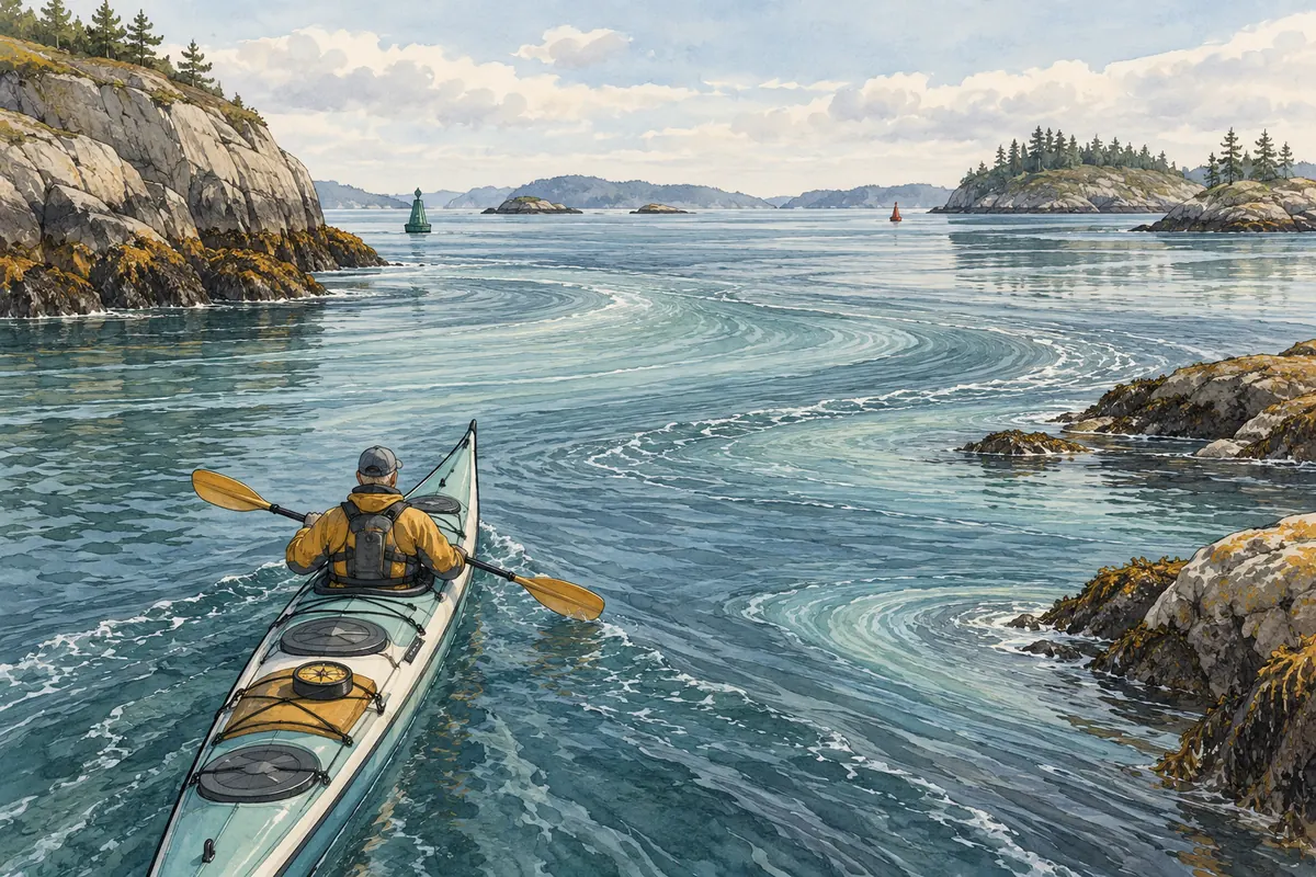
1. Separate water-level tides from tidal currents
When planning a coastal kayak trip, do not treat the rise and fall of sea level as the same information as the horizontal movement of water. NOAA’s National Ocean Service education page distinguishes tide and water-level information from current information and describes observations and predictions. A water-level prediction concerns sea height at a place and time; a current prediction concerns moving water. Check that the station or prediction corresponds to the launch, landing, and coast segment on your route. A tide table for one harbor does not establish the current’s direction or speed on another stretch of coast, and one kind of prediction cannot stand in for the other.
NOAA’s National Ocean Service makes historical and real-time observations and predictions available. For planning, select a suitable station or product near the intended section of coast. Water-level data depend on a reference datum; current data depend on the specific location and prediction time. Similar-looking products may describe different variables, so they cannot be substituted. A prediction for one harbor also does not establish conditions along an entire bay, headland, or crossing.
2. NWS marine-weather specialists and their forecast area
The National Weather Service’s Marine Weather Services is an official U.S. government service for marine forecasts and warnings. NWS lists its coverage as coastal waters along the mainland continental United States, the Great Lakes, and offshore and high-seas waters of the North Atlantic and North Pacific. This is not worldwide coverage. If the trip is within those areas, select the official forecast zone that includes the launch and route, then check the product’s issue time and valid period. For another country or waters outside the listed NWS areas, use the current forecast and warnings from the meteorological or marine-weather authority responsible there. Do not apply an NWS zone forecast to a different jurisdiction.
The NWS service page links to maps and zone-specific forecasts and warnings. Even within its U.S. coverage, select the coastal, lake, offshore, or high-seas zone that actually contains the launch and route. Read both the issue time and the product’s valid period: a recently issued product may not cover the entire planned trip. If a route or zone boundary is unclear, use the zone information and notices from the responsible NWS forecast office.
3. Match place, time, and reference to the itinerary
Compare the NOAA water-level or current station and the NWS forecast zone with the actual launch, landing, and route. Record the prediction time and the forecast’s issue and valid times; check the local time convention and the reference datum for water height. Water level, current, wind, waves, and warnings describe different variables. Do not combine values from different places or periods as though they were one simultaneous measurement. If the launch time or route changes, or a forecast is updated, recheck the information for the affected place and period. This organizes public data for a plan; it does not guarantee the conditions on the water.
Outside the United States, do not treat the NWS website as the local forecast authority. NOAA’s tide education page explains why maritime activity uses tide and current information, but the NWS service page limits its listed forecast coverage to specified U.S. and high-seas waters. Check the official marine forecast, warning, and zone definitions from the authority responsible for the local coast. Where NOAA observations are also available, verify separately that the station and prediction period match the itinerary.
4. Limits of these sources for kayaking decisions
NOAA and NWS provide water-level, current, and public marine-forecast information; they do not teach sea-kayak eddy crossings, rescue-equipment choices, radio procedures, or current-calculation techniques. These pages therefore do not support a universal crossing time or a safe wind or wave threshold for every kayak and paddler. If a warning is active, or conditions exceed the group’s training, experience, or equipment, postponing or changing the plan is prudent. For technical decisions on an unfamiliar coast or in strong current, seek guidance from a qualified local kayak instructor or rescue authority. A forecast informs preparation but does not replace on-water judgment or certify a particular route as safe.
Sources
NOAA National Ocean Service: Tides and Water Levels · NOAA NWS: Marine Weather Services