Do the Moon’s Tiny Permanent Shadows Prove Water Ice Is There?
A study models tiny lunar shadows as possible cold traps. Separate LCROSS evidence from one impact site from predicted ice-stable environments.
Publication & corrections: infostoa · Editorial standards
Individual author and specialist reviewer information is not provided for this article.
A permanently shadowed region (PSR) is terrain that receives no direct sunlight over the relevant solar cycle; a cold trap is a subset where modeled peak temperatures are low enough for water ice to remain stable. The terms are not interchangeable. In their May 11, 2020 arXiv v1 paper, Hayne, Aharonson, and Schörghofer combine lunar-orbiter shadow images, Diviner temperature data, topography, and thermal models to examine scales below large craters. The paper estimates environments where ice could be stable; it does not report direct ice detections in every micro-shadow.
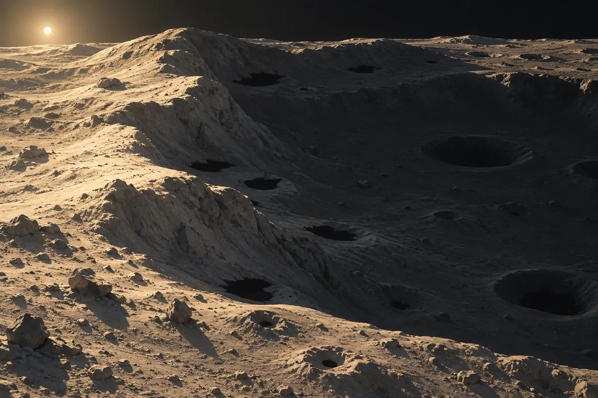
A shadow and ice stability answer different questions
Permanent shadow asks whether topography and the Sun’s changing position leave a place without direct illumination. Darkness alone does not determine temperature. Reflected sunlight and infrared emission from nearby illuminated terrain can warm a shadow, while lateral heat conduction through soil can warm a very small cold patch. The study therefore estimates thermal conditions as well as shadow persistence, applying a modeled peak-temperature threshold for water stability. A dark pixel, a permanently shadowed region, and a modeled cold trap are different layers of evidence.
The paper considers length scales from about one kilometer down to one centimeter. The authors analyzed 5,250 LROC Narrow Angle Camera images to describe instantaneous shadow-size distributions, then used topographic and solar-geometry models to estimate the permanent-shadow distribution. A single image records a shadow at one time; it cannot by itself establish year-round persistence. The transition from an instantaneous image to a permanent-shadow estimate is a modeling step that combines terrain assumptions with changing illumination.
Adding small terrain changes the modeled candidate area
The authors compare mixtures of bowl-shaped craters and rough inter-crater terrain with several inputs: the instantaneous shadow distribution in LROC images, lunar roughness estimates from LOLA, and Diviner peak-temperature measurements at roughly 250-meter scale. They then estimate, by latitude and patch size, what fraction of permanent shadows could stay below the paper’s water-stability temperature assumption. The result is a physical-model estimate informed by orbital data, not a direct census of ice across the lunar surface.
Their model places about 0.15% of the lunar surface in permanent shadow and about 0.1% in water cold traps. Smaller patches add to the area, and centimeter-scale traps are the most numerous in the modeled distribution. Number is not volume: the paper says the smallest traps contribute only a small share of total area and an even smaller potential volume. Its heat-conduction calculation also removes the smallest cold traps; below centimeter scales, lateral conduction can prevent the shadow from remaining cold enough. Thus the article’s “micro” result concerns a modeled distribution of suitable thermal places, not a claim that tiny patches hold large ice deposits.
LCROSS supplied evidence from a particular impact site
NASA’s LCROSS mission sent the Centaur upper stage into Cabeus crater near the lunar south pole in 2009, then flew the spacecraft through the ejecta plume about four minutes later to collect measurements. NASA’s mission history records evidence of water near the south pole and later confirmation that water was present as ice crystals in some places. This is mission evidence tied to a specific impact plume and site.
The micro-cold-trap paper asks a different question: how many shadow patches of different sizes and latitudes could meet modeled thermal conditions for ice stability? LCROSS does not demonstrate ice in every centimeter-scale trap in the model, and the model does not mean each predicted location was sampled. The two lines of evidence can be read together, but one measures material from a particular plume while the other estimates a distribution of potential environments.
Expert perspective: modeled area is not an ice reserve
The paper’s contribution is to add small topographic shadows and the effects of heat conduction to earlier, larger-feature analyses. It combines LRO observations with assumptions about crater fractions, surface roughness, illumination, and thermal behavior. Its area estimates depend on those inputs. The authors note that seasonal variation is excluded from one comparison, and their treatment of conduction on rough surfaces is an upper-limit estimate rather than a detailed conduction calculation for every patch.
That distinction sets the practical limit of the result. “Permanently shadowed,” “modeled cold trap,” “ice detected at a site,” and “recoverable resource” describe successive claims requiring different evidence. A map of shadow or a thermal model can identify candidate places; establishing ice occurrence and quantity requires independent measurement at those locations. This article summarizes the authors’ May 2020 v1 preprint and does not project later mission findings or current resource inventories.