Cultural Landscape Disaster Planning: Map Relationships and Use
Plan beyond a building inventory by documenting natural systems, seasonal activity, routes, stewardship, information flows, and post-event learning.
Publication & corrections: infostoa · Editorial standards
Individual author and specialist reviewer information is not provided for this article.
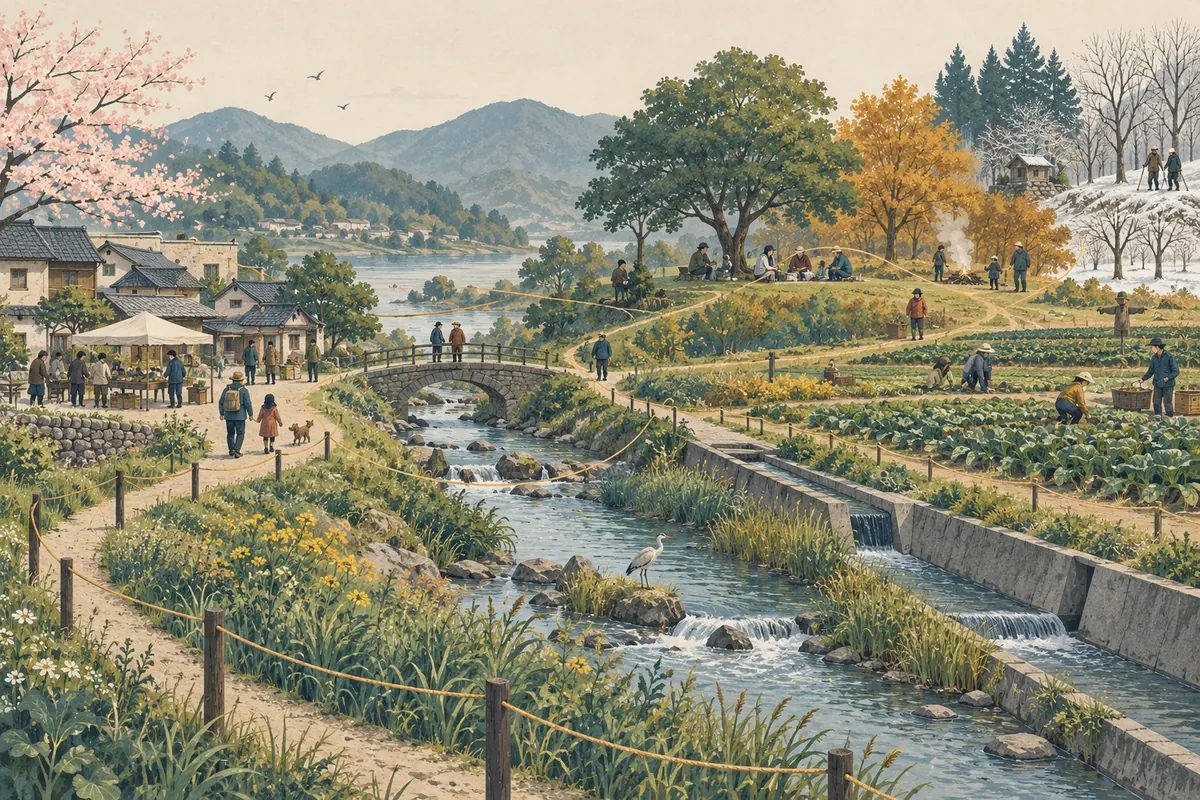
A cultural landscape is not simply a cluster of historic buildings. It is a place shaped over time by relationships between people and the environment. The U.S. National Park Service (NPS) describes a cultural landscape as a geographic area containing cultural and natural resources, wildlife or domestic animals, and associations with historic events, activities, people, or cultural values. From this perspective, disaster preparedness needs more than a building inventory and evacuation route. Waterways, vegetation, seasonal work and ceremonies, residents’ movement, and stewardship relationships can affect both exposure and response.
Map landscape components and their connections
Begin by listing what matters and recording how elements connect. Alongside buildings and archaeological sites, note fields, forests, embankments, waterways, paths, views, gathering places, and seasonal activities. Identify who uses or maintains them. Trace possible hazard pathways: for example, how heavy rain might affect drainage, farmland, and village routes in sequence, or how fire risk could intersect with work and access paths.
On a map, distinguish observed conditions, locally remembered experience, assumptions, and unknowns. Community knowledge may identify seasonal water movement or periods of concentrated use; technical surveys can add information about structural condition and terrain. One evidence type does not automatically replace another. If detailed locations or photographs reveal sensitive information, define access controls and consider a separate public-facing map.
Hazards affect natural and cultural resources and everyday use
Landslides, floods, heat, and fire can affect natural and cultural resources at the same time. Changes to trees and soil can alter building materials or drainage, while damage to infrastructure can interrupt movement and community activities. Existing practices in water or land management may also inform preparedness. These connections vary by place; do not assert a site’s actual vulnerability without evidence.
A planning record can separate the hazard, exposed resources and activities, vulnerability conditions, pathways of impact, and the people, tools, and communication needed to respond. It should also identify the responsibilities of public emergency and site-management authorities rather than transferring risk to residents. Decisions to restrict access or move objects need to reflect legal authority, current safety conditions, and rights-holder input. These prompts support local planning; they are not evacuation or rescue instructions.
Prepare roles and information flows in advance
ICCROM’s crisis-response Toolkit offers coordination tools for communities, custodians, responders, and humanitarian actors working on cultural rescue and risk reduction. A local plan can identify who checks hazard information, who receives it, and which official is responsible for decisions about site safety and public protection. With local agencies, verify backup communication channels and entry procedures for restricted areas if normal contact is lost.
The plan should also define how information may be shared. Exact locations of vulnerable resources, private contact details, or knowledge that a community has restricted may not belong in a public report. Separate the minimum information needed for response from long-term documentation, and record who may access each and when permissions should be reviewed. Information sharing alone does not guarantee community consent or everyone’s safety.
Expert perspective: do not reduce a landscape to separate asset lists
The NPS description shows how natural and cultural resources within one geographic area may be linked to events, activities, and people. ICCROM’s Toolkit addresses practical coordination among multiple actors during a crisis. Taken together, these perspectives suggest that a plan should ask not only who is responsible for each building, but also who checks information and coordinates action when waterways, livelihoods, routes, or stewardship relationships change. Specific role assignments and decision authority depend on local law and emergency systems; the sources do not prescribe one operating procedure for every landscape.
Include exercises and post-event learning
A written plan does not by itself create response capacity. Exercises designed with local law and emergency agencies can test whether information reaches the right people, sites can be accessed safely, people with mobility or other support needs can move, and records remain protected. Note what worked, what failed, who owns each correction, and when it will be revisited. An exercise cannot guarantee a risk-free response; follow qualified emergency and site-safety guidance.
After an event, recovery need not aim only to restore a previous physical state. Review which relationships and activities were interrupted and whether temporary measures affected other resources. New damage, changes in community use, and information learned during recovery can update the landscape record and future plans. Preparedness for a cultural landscape is a record to revise with local conditions and responsibilities, not a drawing completed once and left unchanged.